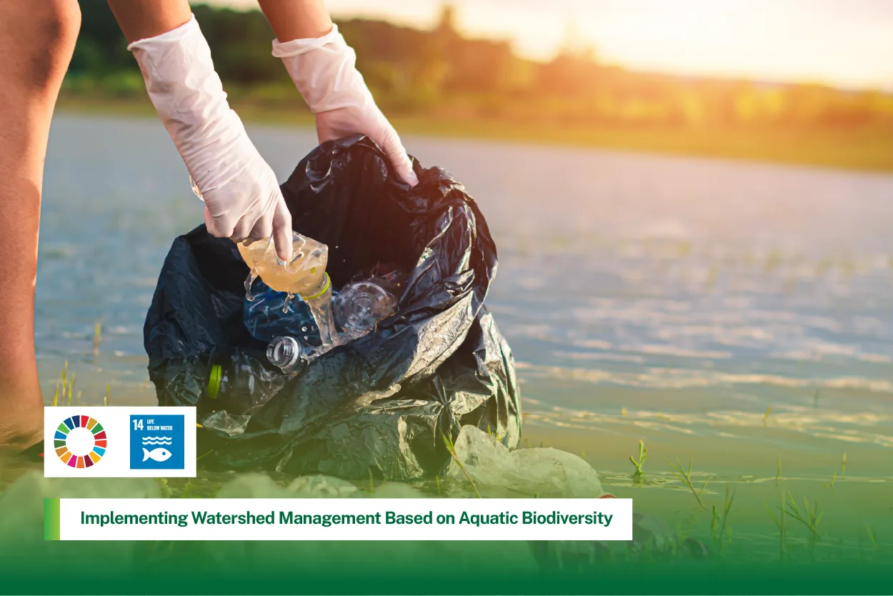
Medan, Indonesia (30 November 2024) – Universitas Sumatera Utara (USU), through the Faculty of Forestry, is putting science at the centre of how watersheds are managed in North Sumatra. By combining biodiversity monitoring, geospatial analysis, and field activities such as river care and community outreach, USU is developing a watershed management strategy that is explicitly based on local aquatic and terrestrial ecosystem health.
This work reflects USU’s broader commitment, as summarised in its institutional reporting, that the university has launched research initiatives to support watershed planning using ecosystem and biodiversity data, rather than relying only on administrative boundaries or short‑term engineering approaches.
Building an ecosystem index for forested watersheds
A flagship initiative in this strategy is the research project “Formulation and Mapping of Ecosystem Index for Forested Watershed Landscapes”, led by Samsuri with internal funding from USU.
USU researcher, Samsuri, conducts studies on watershed management strategies that utilize local aquatic biodiversity to support sustainable water resource planning. (source:https://talenta.usu.ac.id)
The project aims to create a practical ecosystem health index for forested watersheds by bringing together:
biotic indicators, such as the diversity and condition of plants and animals (including aquatic species),
abiotic factors, such as soil characteristics, slope, and water‑quality parameters, and
spatial analysis, using geospatial modelling to understand how land cover and habitat patterns influence watershed function.
The index is designed as a decision‑support tool for long‑term watershed management. It helps planners and policymakers:
identify which parts of a watershed are still ecologically strong,
locate areas under stress from land‑use change or pollution, and
prioritise conservation, rehabilitation, and land‑use control in ways that protect both biodiversity and water resources.
This project puts local species and ecosystem conditions at the heart of watershed planning.
Linking upland forests and coastal mangroves in one watershed vision
To complement research in upland and mid‑catchment forests, Dr Mohammad Basyuni and his team have conducted studies on mangrove biomass, carbon stock, and species diversity in coastal watershed ecosystems.
Led by Prof. Mohammad Basyuni, USU researchers estimate mangrove aboveground biomass using UAV imagery and height models to assess carbon stock and species diversity in coastal watershed ecosystems (source:https://www.sciencedirect.com)
Their work:
measures how much biomass and carbon is stored in mangrove stands,
documents species richness and structure of mangrove communities, and
maps the distribution of mangrove belts along coastal and estuarine zones.
These data show how mangroves:
capture and store carbon,
protect shorelines from waves and erosion, and
provide habitat and nursery grounds for fish, crustaceans, and other aquatic life.
By integrating inland ecosystem indices with mangrove biomass and carbon‑stock mapping, USU is gradually building an integrated view of watersheds from headwaters to estuaries. This supports climate‑change mitigation, biodiversity conservation, and land‑use planning in both forested uplands and coastal areas.
Lake Toba water‑quality research as part of watershed management
USU’s watershed work also extends to Lake Toba, one of Indonesia’s most important freshwater ecosystems. When Lake Toba experienced episodes of turbid, brownish water, a USU professor led scientific sampling and analysis to understand the causes and propose solutions.
.png)
The study highlighted a combination of factors, including:
increased sediment and nutrient input from the surrounding catchment,
domestic wastewater entering the lake, and
waste from floating fish cages and uneaten feed.
Based on these findings, the professor outlined a set of practical management measures, such as strengthening regular water‑quality monitoring, improving wastewater and solid‑waste management in the catchment, and tightening control of aquaculture practices and fish‑cage density.
This Lake Toba work is a concrete example of USU applying its watershed management principles: using science to diagnose ecosystem stress, then translating results into recommendations that protect both aquatic biodiversity and local livelihoods.
From research to watershed practice and river care
USU’s watershed strategy is not confined to academic outputs. It is linked to on‑the‑ground activities that promote watershed health.
.png)
Through faculty programmes and student community service, USU:
organises river‑bank clean‑up and awareness activities in selected urban and peri‑urban watersheds,
promotes simple river‑care practices with local communities, such as reducing litter, protecting riparian vegetation, and monitoring basic water‑quality signs,
uses field classes to introduce students to watershed concepts directly at streams and rivers, connecting measurement of biodiversity and water parameters to wider management questions.
These activities provide concrete examples that the university is not only analysing watersheds on paper but also encouraging responsible behaviour in real catchments. They are consistent with USU’s direction that watershed management must include both science‑based planning and everyday practices that keep rivers and streams clean.
Science-based decision making for land and water use
Taken together, the ecosystem index research and the mangrove biomass and carbon‑stock studies emphasise that:
species diversity, including aquatic plants and animals,
hydrological processes, and
landscape integrity
are all critical for the health of rivers, wetlands, and coastal waters.
USU’s findings are used to:
inform conservation planning
support spatial land‑use decisions, such as zoning and protection of sensitive areas, and
advise on measures to reduce environmental damage from development and climate change.
By combining local biodiversity data, geospatial ecosystem modelling, and practical watershed activities such as river care and community outreach, Universitas Sumatera Utara demonstrates how a university can turn research into a living watershed strategy.
These efforts strengthen ecological understanding, support sustainable environmental governance, and position USU as a national leader in ecosystem‑based watershed planning rooted in the reality of local aquatic and terrestrial life.